

Add a Title
Use this space to add a medium length description. Be brief and give enough information to earn a click.
Add a Title
Use this space to add a medium length description. Be brief and give enough information to earn a click.
Add a Title
Use this space to add a medium length description. Be brief and give enough information to earn a click.
Add a descriptive title for the column.
Add context to your column. Help visitors understand the value they can get from your products and services.
Add a descriptive title for the column.
Add context to your column. Help visitors understand the value they can get from your products and services.
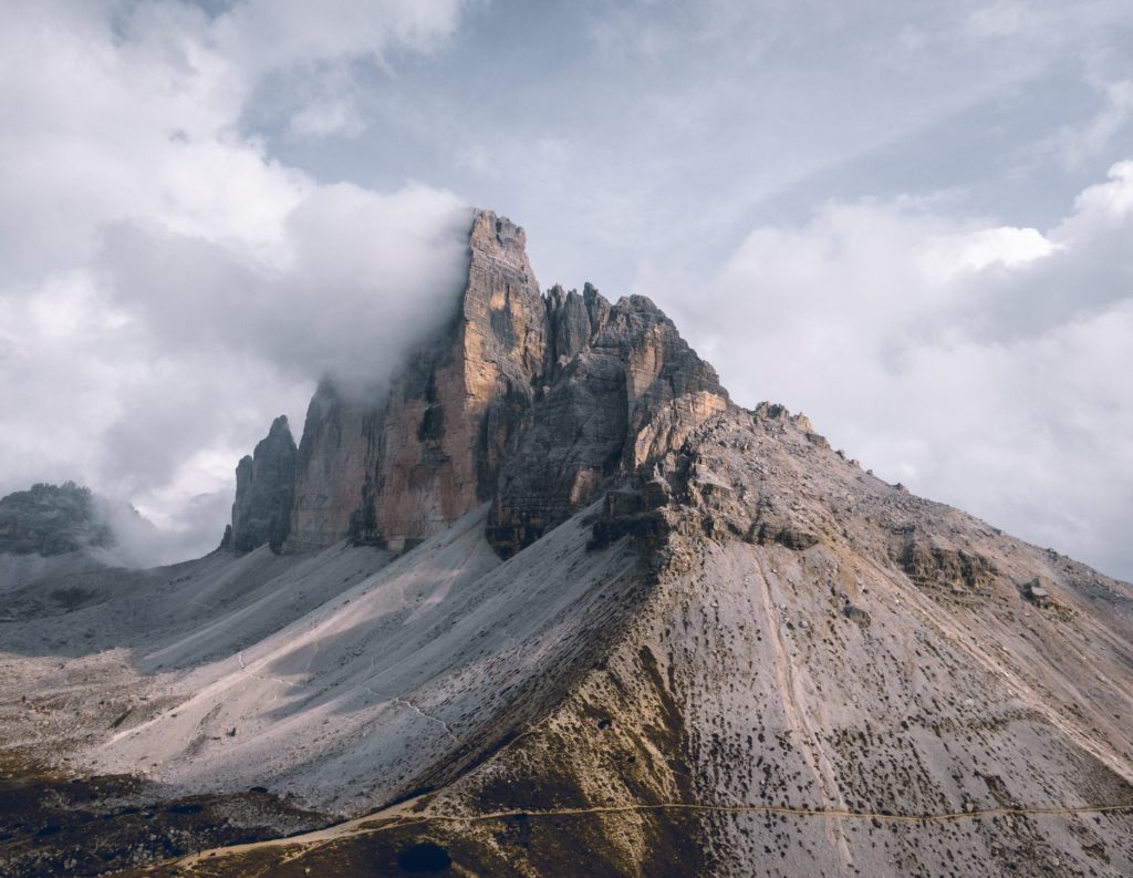
Geographical Landscape
Geographical Profile (Topography, Climate, Vegetation, Mineral resources, soils, water bodies)
This section briefly elaborates more information concerning Topography, Climate, Vegetation, Mineral resources, soils and waterbodies.
Subscribe for Updates!
To receive updates once a week in your email inbox, subscribe to our Newsletter. We never spam you with useless emails, and we never share your email address with any third party.